 |
|
 |
|
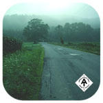
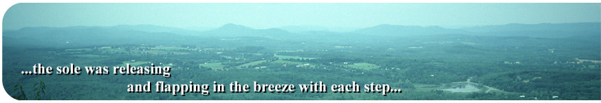
Aug 5 , 1983 Friday (653.9 mtg) From Gonzo!s Appalachian Trail journal Woke early this morning and ate a supper for breakfast. I probably did this when I realized that there might not be much water at my camp tonight, or possibly I felt like I needed more energy after such a strenuous four days as I had just gone through. I followed Jug End road for a while until it intersected Highway 41, then continued on to intersect with Bow Wow Road (can't imaging how this road got that name) until turning right onto Lime Kiln Road which lead past an abandoned lime kiln. Soon after this the trail crossed US 7 and began the climb up June and East Mountains. I think this is the area where there had been a relocation that I found irritating. If memory serves me, the trail went up the mountain and then seemed to go right back down the same side. Just a vague memory, but I know something weird was going on there. While on this section I encountered a couple of foresters who were investigating timber trespassing in the area. They asked me some questions about seeing anything suspicious, but I had not. Upon reaching route 23, I stopped at an establishment called "The Turning Point" since there was a public phone beside the building, and took the opportunity to call my mother and arrange to have the boots that I had used in my pre-hike training trek across Illinois sent to me. The pair of boots that I had been using had developed a problem with the sole beneath my toes. They had lasted this long since the repairs in Damascus, Virginia, but the additional thousand or so miles began to take their tole. The sole was releasing and flapping in the breeze with each step. I arranged to have her quickly send the boots to Cheshire, Massachusetts, a few days up the trail. Was this new development going to be the end of my long adventure? I was hoping that my feet had been sufficiently "hardened" by the many miles that I had already put in and that no problems would result from switching boots. While on the phone, she told me that she had been to the Post office the day before and had already sent a package first class to the town of Cheshire. But I needed the boots, so she would have to quickly return to the post office today to send out the boots separately. To help speed them along, she sent them airmail (cost $8.71 plus $1.25 insurance)(see postal receipt). We talked for about 9 minutes (cost $5.61). I stopped
at Benedict Pond a little farther past route 23, where there was
a picnic area and swimming in the pond. I paid the 25¢ to swim
in the water and had myself a nice break. I met a nice couple from
Connecticut who offered me two homemade blueberry muffins, a couple
of cups of milk, and a candy bar. Of course I did not refuse. The
generosity of the people I have met is inspiring, they give hope
in a world full of bad things. Eventually thunder began to be heard
in the distance and the sky looked as though rain was coming our
way. This was my signal to make sure that I was in a shelter by
evening, so off I went. Gonzo!
Appalachian Trail Journals ©1983
|
|||
